Tea Tree Gully township historic trail
Step back in time and explore the rich history of Tea Tree Gully through this self-guided historic trail.
Visit more than 20 significant locations throughout the historic township and uncover the people, places and events that helped shape one of South Australia's earliest settlements.
The trail is free and can be taken at your own leisure.
Discover the historic township trail here
Start your journey
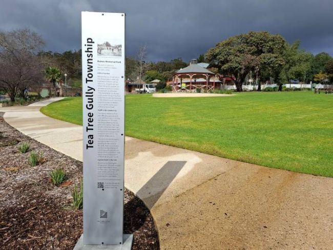
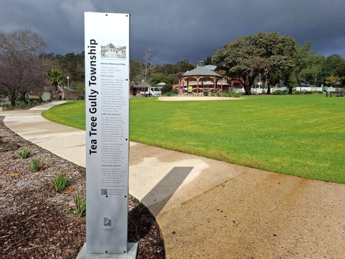
Scan a QR code at any of the following trail locations to bring up an interactive map. The map will guide you to more than 20 historical sites:
- Tea Tree Gully Heritage Museum, 3 Perseverance Road
- Pine Plantation - behind Gallery 1855, Tea Tree Gully
- Haines Park, corner North East Road and Perseverance Road
- Haines Bridge, Perseverance Road
- Gilmour Park, 1335 North East Road
- St Agnes Winery, 1316 North East Road
- Former Police Station, 1348 North East Road
About the township
The traditional custodians of the Tea Tree Gully district are the Kaurna people. Before European settlement, the area was a swampy gully densely covered by native tea trees.
The district became a popular stopping point for squatters travelling between Adelaide and the Hills, due to its fresh water supply.
Permanent settlement occurred in 1839, and the township was originally named Steventon after prominent landholder John Stevens. Locals continued to refer to the area as Tea Tree Gully, with the name replacing Steventon in the 1900s.
While not the area's first settlement, Tea Tree Gully has retained a remarkable historic core that showcases the character and stories of its past.
Acknowledgement
Special thanks to the Tea Tree Gully & District Historical Society in the development of this trail.